-
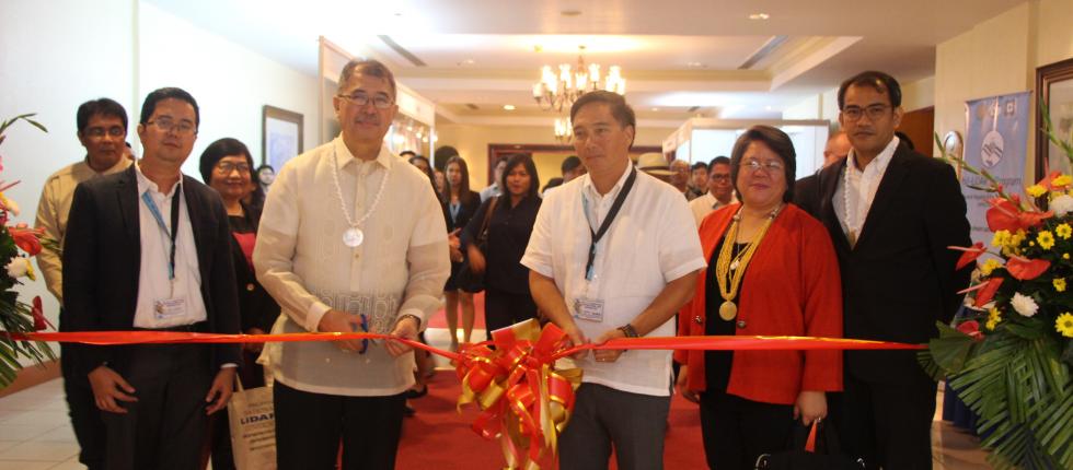
DOST Secretary Fortunato Dela Pena in Ribbon-Cutting for Philippine National LiDAR Conference 2017 Exhibit DOST Secretary Fortunato Dela Pena visited all the LiDAR booths of Partner State Universities and Colleges (SUCs) and Higher Education Institutions (HEIs) present in the PNLC 2017
-
5th Mindanao Cluster Conference and LiDAR Data Turnover in Caraga December 6-9, 2016
-
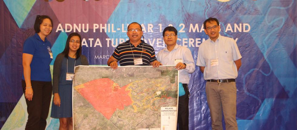
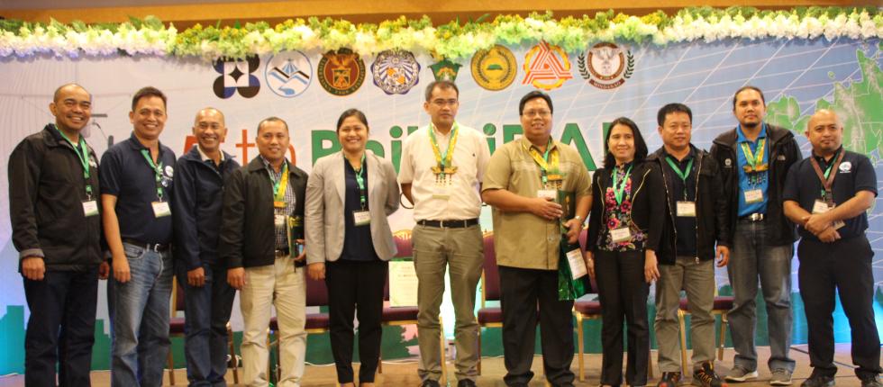
6th Luzon Cluster Conference and Data Turnover in Naga City March 30-31, 2017
-
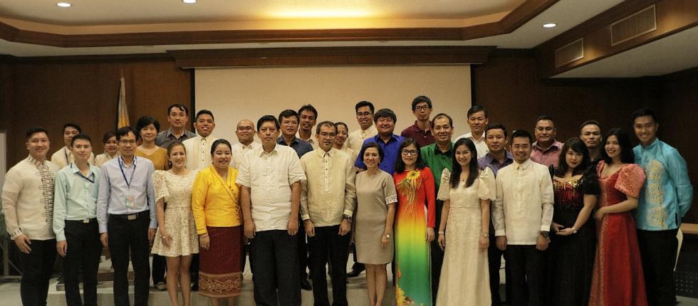
Welcome Dinner during the ASEAN LiDAR Training June 25-30, National Engineering Center
-
-
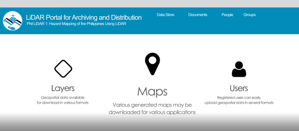
LiPAD, LiDAR Portal for Archiving and Distribution LiPAD serves as the primary data access and distribution center of the Phil-LiDAR 1 and 2 Programs.
UP TCAGP Releases Taal Open LiDAR Data
With the Philippines being at constant risk from natural disasters, the UP Training Center for Applied Geodesy and Photogrammetry (UP TCAGP) is aware that adequate data is needed for disaster risk reduction planning and operations. And as an institution mandated to provide training and research services on geomatics, the UP TCAGP is equipped with the capacity to generate geospatial data for mapping and planning purposes.
As a response to the desire to provide better data for the implementation of this mandate, LiDAR data of the Taal Volcano and its surrounding areas, generated during the DREAM and Phil-LiDAR programs(data from 2014 - 2017) are hereby being released by the UP TCAGP for open access.
Read more at the News Section Post: UP TCAGP Releases Taal Open LiDAR Data
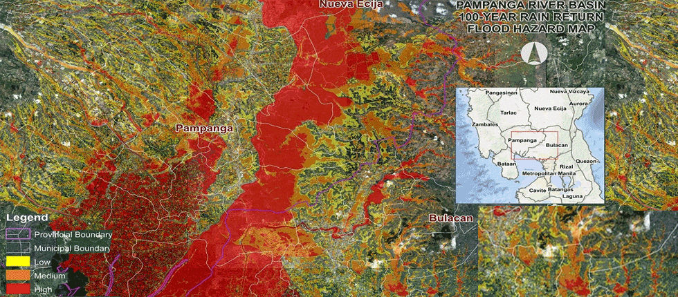
Know more about these teams and the Program's products, such as the digital elevation models, orthophotos, and flood hazard maps, in the About Us and Products sections, respectively. Check out how the DREAM is turned into reality with the latest entries at the News tab.
Like Us on Facebook
Facebook