The UP DREAM Program
The Disaster Risk and Exposure Assessment for Mitigation (DREAM) Program is a Department of Science and Technology (DOST) Grants-In-Aid (GIA) Program-funded effort that is implemented by the University of the Philippines Training Center for Applied Geodesy and Photogrammetry (UP TCAGP).
The Program is one of the nine (9) components of the Nationwide Operational Assessment of Hazards Project (Project NOAH). Through the use of cutting-edge technology, such as the LiDAR, it generates updated and top-quality flood maps and models. These high-precision hazard maps are made accessible to the public through the Project NOAH website.
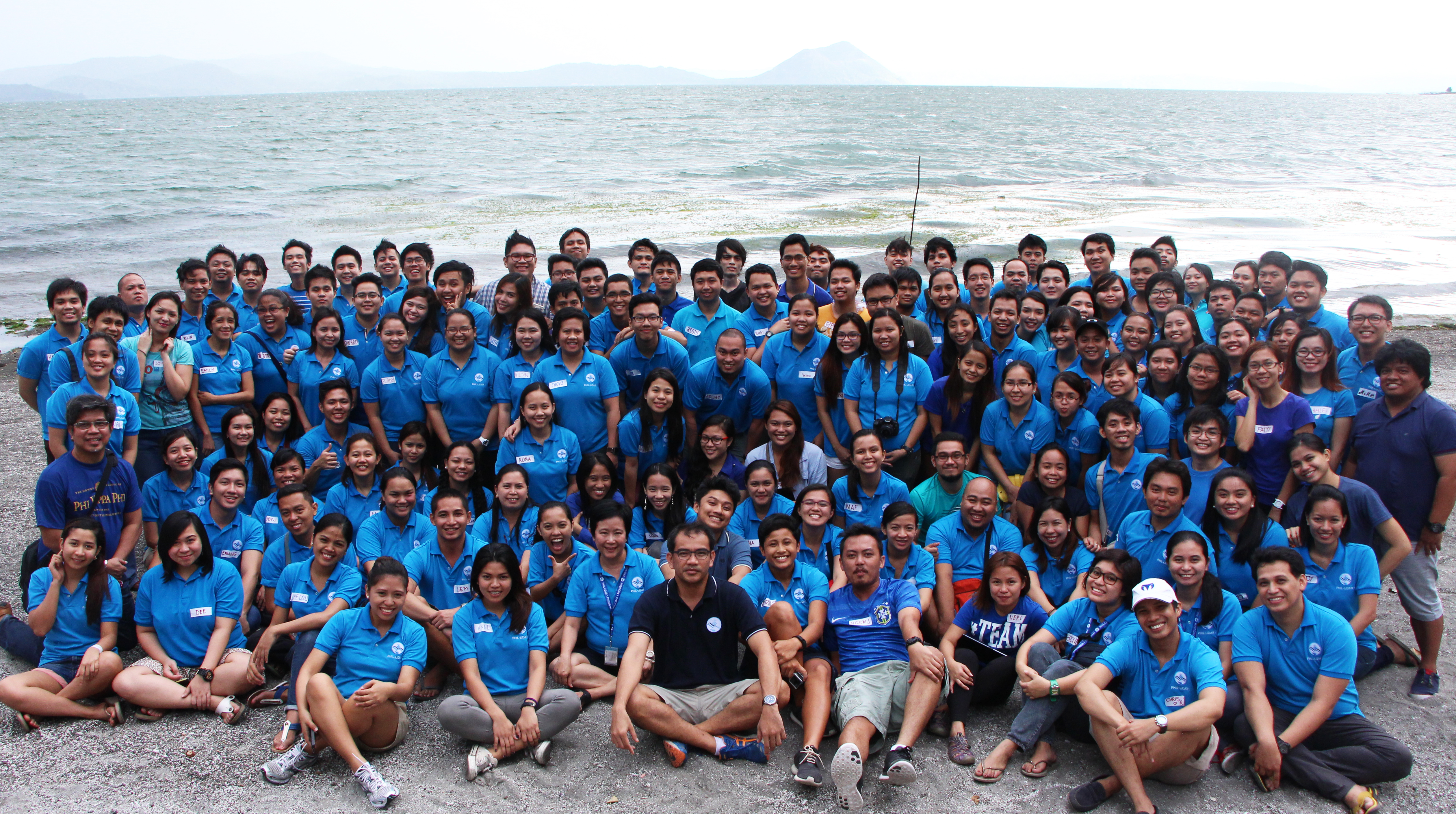
Taking on a proactive role in building resilient Filipino communities is a workforce of about 107 DREAM personnel.
| Data Acquisition |
|
| Data Validation |
|
| Data Processing |
|
| Flood Modeling |
|
 Data is acquired using the airborne light detection and ranging (LiDAR) technology.
 Validation of acquired LiDAR data is done through the conduct of ground surveys.
 LiDAR data is then processed and calibrated for use in flood modeling.
 Generated digital elevation models are overlaid with rainfall data to produce flood models and maps.
"The DREAM Program is not just about maps but the information to ensure the country's survival and future in an era of extreme and rapidly changing climate."
Like Us on Facebook
Facebook