DREAM bags Geospatial World Excellence Award 2014
- Posted by Nicolle Timoteo
- on 20 May 2014
- 0 Comments
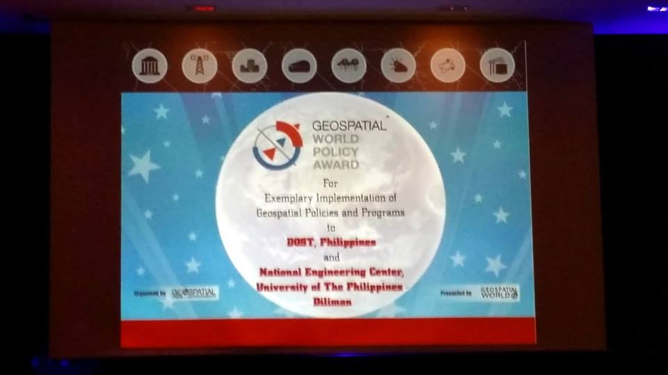
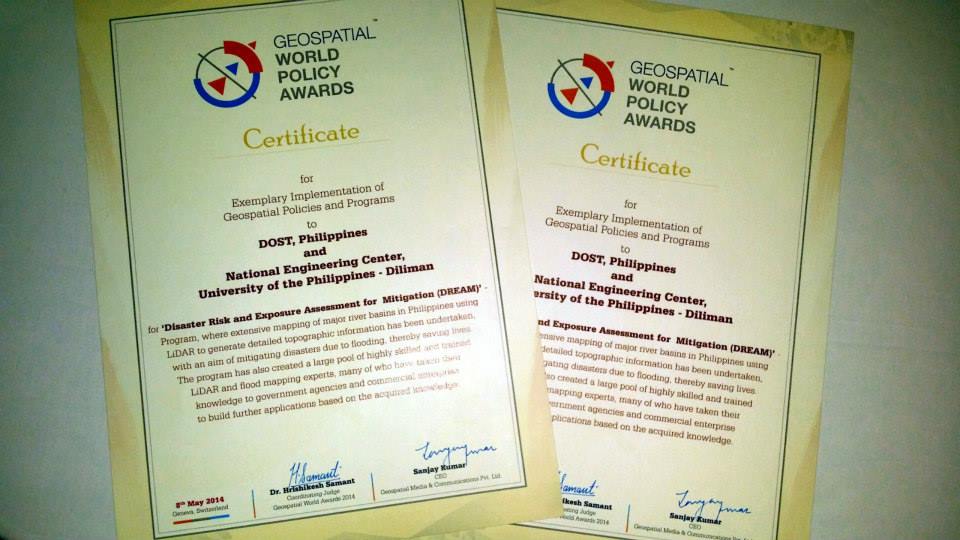
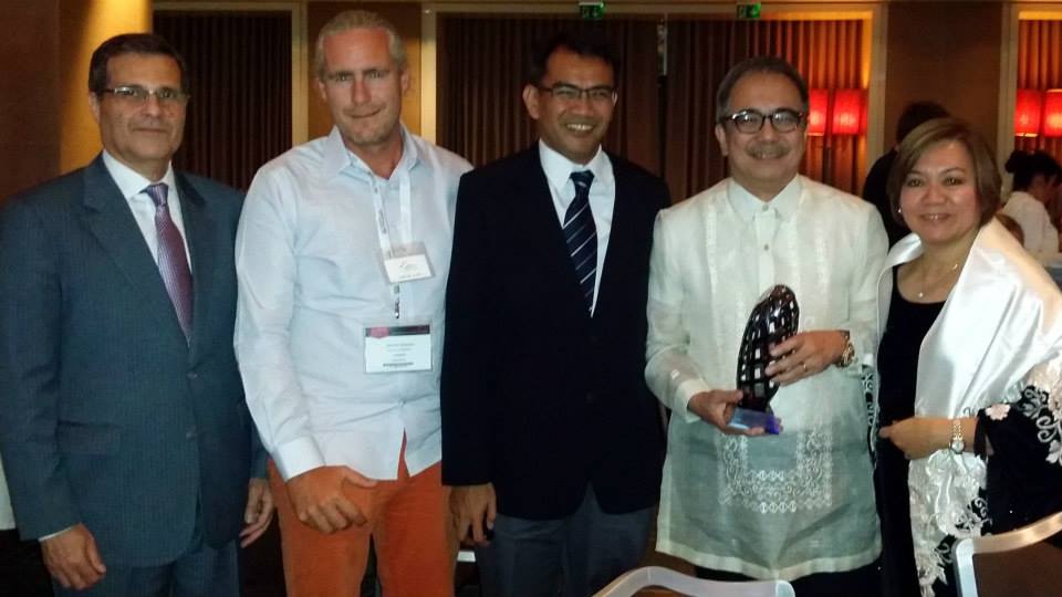
The Disaster Risk and Exposure Assessment for Mitigation (DREAM) Program, represented by its Program Leader Enrico C. Paringit, Dr.Eng. and Department of Science and Technology (DOST) Secretary Mario Montejo, received on May 8 the Geospatial World Excellence in Policy Implementation Award for 2014, in the Geospatial World Forum awarding ceremony held in Geneva, Switzerland.
With its receipt of the recognition, the DREAM Program joins the roster of other high-profile international science and technology agencies, such as the National Aeronautics and Space Administration (NASA) of the United States, Standards Agentschap voor Geografische Informatie Vlaanderen (AGIV) of Belgium, and Indonesia Geospatial Information Agency (BIG), among others.
Dr. Paringit notes, “The award goes to show that the international community acknowledges our local capability-building efforts to attain self-sufficiency when it comes to dealing with natural hazards and disasters.” He adds that the award will motivate the DREAMers to further their efforts in giving timely and relevant information to the public.
As cited in the organization’s website, “[t]he Geospatial World Policy Awards were presented to organisations for exemplary formulation and implementation of geospatial policies which directly or indirectly encourage the geospatial industry.”
The Geospatial Awarding Ceremony took place during the annual week-long Geospatial World Forum held on May 5-9, 2014, attended by many geodetic, remote sensing, mapping, and geospatial experts from all over the globe.
*with reports from the Manila Bulletin and Yahoo! News Philippines


Like Us on Facebook
Facebook