PHIL-LiDAR 1 Program Conducts Flood Modeling, Mapping, and Assessment Workshop with DENR-MGB and DOST-PAGASA
- Posted by Beau Bernardo Estepa and Klaribelle Anne Languayan
- on 27 April 2017
- 0 Comments
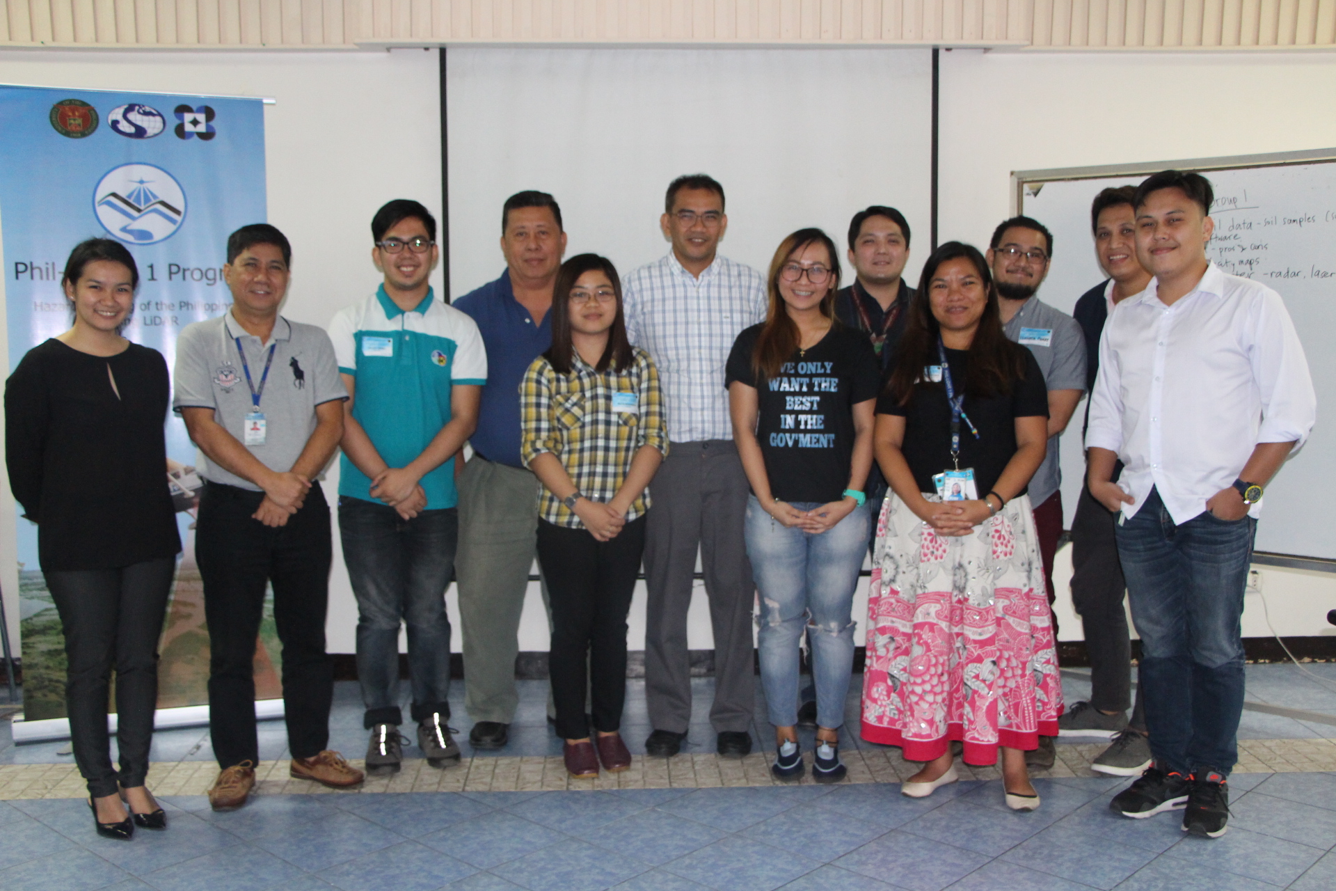
The Phil-LiDAR 1 Program headed by Program Leader Dr. Enrico C. Paringit conducted the Flood Modeling, Mapping, and Assessment Workshop for MGB (Mines and Geosciences Bureau) and PAGASA (Philippine Atmospheric Geophysical and Astronomical Services Administration) last April 26, 2017 at Seminar Room C of the National Engineering Center, UP Diliman. There were a total of 20 participants in the event.
The delegates from MGB (Mines and Geosciences Bureau) were Julius Umali, Geologist II; Ruth C. Madrideo, Geologist; and Michelle Grace Angela Mendoza, Geologist while the delegates from PAGASA (Philippine Atmospheric Geophysical and Astronomical Services Administration) were Roy Badilla, OIC of the Hydro-Meteorology Division and Danilo Flores, Weather Specialist II. These agencies and the PHIL-LiDAR 1 Program components shared their workflow and methodologies as basis for the afternoon workshop.
Dr. Paringit said that the workshop is really intended for a small group for a more focused discussion. As an outcome of the presidential directive that was issued last February, it was ordered that all datasets, information, products, tools, and technologies from previous projects be transferred to notated agencies that are in charge of hazard mapping.
Through this meeting, an understanding was built that as mandated institutions, there is a “responsibility to disseminate and propagate information not only for purposes of discovery” and transfer of technology. Dr. Paringit enumerated that the rationale of this meeting are 1) to gather these agencies and share information on the process of flood hazard information product generation to be used as a basis in creating future potential researches and projects, 2) to collaborate, 3) gauge how the data produced by the agencies are used and understood by the stakeholders for us to learn how information products should be handled, presented, and disseminated.
Part of the workshop was to discuss what kind of map to produce and details to include as standard among the involved agencies. These data and outputs can be used by the local government for Response, Intervention, and Planning (RIP). To harmonize the data, different parameters should be determined and used as the common yardstick for generating the flood models and maps like building scenario of probabilities, susceptibility, frequency of rainfall, severity, intervals, accuracy level etc. To be considered for the discussion is how the local government agencies will be able to process and translate the harmonized maps in their planning and development actions.
The workshop within the three agencies serves as a groundwork for harmonization of data for an effective and efficient transfer of technology products to local government agencies primarily for disaster risk reduction and management and also for natural resources assessment. Further assemblies are seen to be arranged for the formulation of more concrete plans and actions.
Like Us on Facebook
Facebook