UP Phil-LiDAR 1 Program Closes with Culminating Conference
- Posted by Bryle Leaño and Aian Perucho
- on 18 December 2017
- 0 Comments
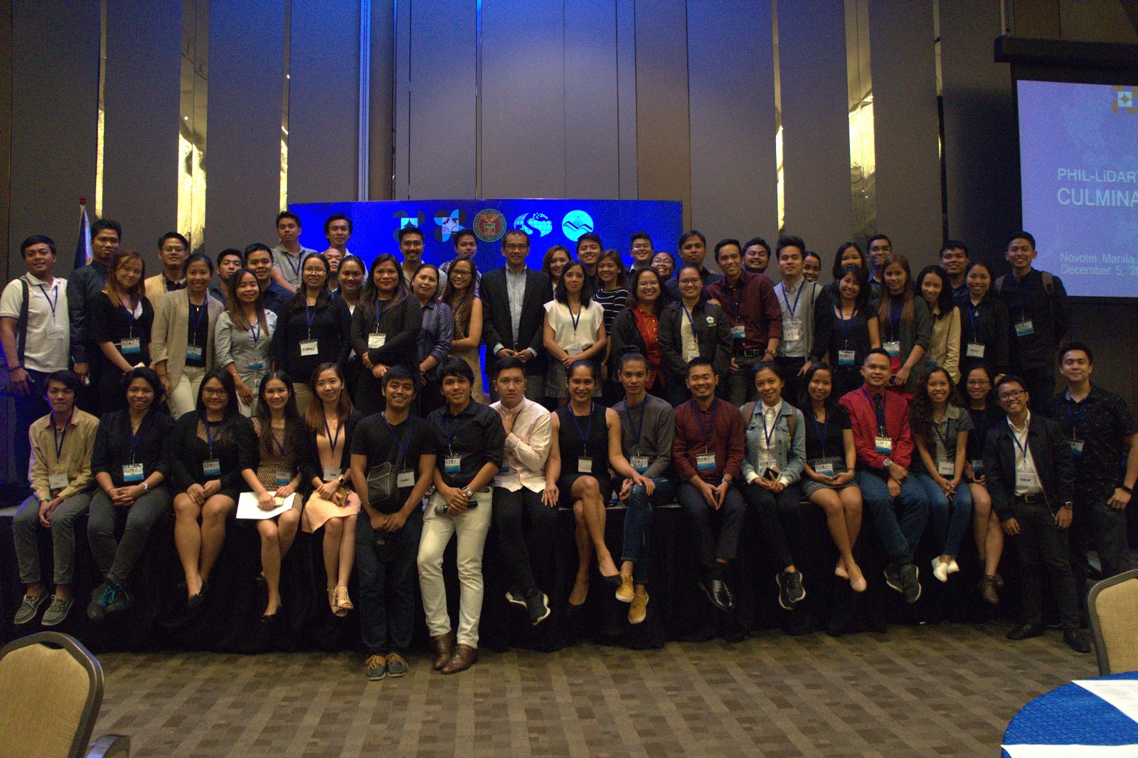
The Phil-LiDAR 1 Program closed the project with a culminating conference last December 5, 2017. The event was graced by various sectors, such as Local Government Units, State Universities and Colleges, Higher Education Institutions, National Government Agencies, Non-Government Organizations, and distinguished individuals, which were partners of the program. Representatives from each sectors were asked to present a talk on how the LiDAR Data was able to help them improve their nature of work and further improve their knowledge on Disaster Risk Reduction Management and Flood Hazard Mapping.
At 9AM, the program was opened by Dr. Fidel Nemenzo, the UP Diliman Vice Chancellor for Research and Development, talking about the short history of the Phi-LiDAR project and its contribution in the development of research in the University. Dr. Enrico Paringit, as the Program Leader, followed through with a speech on the rationale of the culminating conference and further details on the conduct of the Phil-LiDAR 1 project. Right after, a coffee table book named “All Rivers Great and Small” was launched. The book was produced to summarize the insights and perspective of our Filipino researchers on the Philippine Rivers; and will be distributed to the participants of the conference and other partners of the LiDAR project.

Launch of the coffee table book "All Rivers Great and Small" led by Program Leader Enrico Paringit, Dr. Eng. (leftmost) with Vice Chancello Fidel Nemenzo (2nd from the left), Infanta Mayor Filipina Americana ( 2nd from the right), and DOST USec. Brenda Nazareth Manzano (rightmost).
The major talk in the morning session was the keynote speech delivered by the DOST Undersecretary for Regional Operations, Usec. Brenda Nazareth-Manzano. Her speech focused on the importance of the LiDAR data and how will it be used for further studies and projects. She also encouraged everyone to actively use the data in implementing hazard maps and disaster risk reduction plans. In the end, she emphasized that it would be best to continue the efforts and initiatives to further develop and improve the existing systems we have and expand the coverage of the applications.

USec. Manzano giving her keynote speech.
Afterwards, each sectors were given the time to talk about their insights and perspectives on the LiDAR technology basing from the experiences of their respective provinces. Engr. Baltazar Tribunalo, Jr. from the Provincial Disaster Risk Reduction Management Office of the Provincial Government of Cebu shared how they make the LiDAR technology inclusive and community based. He emphasized on the importance of the maps being generated by the LiDAR program and how the basic masses are able to comprehend the data being presented. He said that their people consider the LiDAR data as a property of collective ownership. He was followed by Col. Rhodyn Oro from the Provincial Disaster Risk Reduction Management Office of the Provincial Government of Pangasinan. Col. Oro focused on how they are trying to integrate data from Phil-LiDAR 1 to their plans. He mentioned 5 benefits of having the Phil-LiDAR 1 partnership. They were not only able to generate topographic maps but they were also able to plot incidents of floods using the systems from the project.
In the afternoon, the talk resumed with the insights of Ms. Liza Manzano of DENR- Mines and Geosciences Bureau. She highlighted the importance of LiDAR data in the operations of the MGB, and also the need to harmonize the high-resolution datasets of the Phil-LiDAR 1 Program with the maps and datasets of MGB. She mentioned the Memorandum of Agreement (MOA) between MGB and the Flood Modelling Component (FMC) of the Phil-liDAR 1 Program, wherein the flood hazard maps generated by the FMC will also be used by the MGB regional offices as basis for their own flood hazard maps. In turn, these harmonized outputs shall be the final outputs distributed to Local Government Units (LGUs) and National Government Agencies (NGAs). She lauded the efforts of the Phil-LiDAR 1 Program in working together to produce the accurate LiDAR datasets.

Ms. Liza Manzano from DENR-MGB talking on the insights and perspectives of the LiDAR Technology in National Government Agencies.
After Ms. Manzano’s talk, Engr. Aldrin Albano of DPWH Region 10 discussed about the importance and usage of LiDAR program in planning of construction and developing such infrastructures and highways. He focused on how LiDAR is being used His lecture was followed by the academician, Dr. John Burkentley Ong of the Manila Observatory based in the Ateneo de Manila University, and Dr. Renan Tanhueco of the Department of Civil Engineering of the De La Salle University. Dr. Ong and Dr. Tanhueco talked about the importance of the LiDAR program for the academicians, students and researchers who pursue these kinds of studies. They stressed that the benefits of LiDAR data are encompassing and very relevant. Before, the available maps have low resolution, but now, the data can be used even for 3D applications, among others. They also urged the participants from different LGUs and NGAs to sincerely implement projects based on the LiDAR data.

Mr. Tanhueco (left) from De La Salle University and Mr. Ong (right) from Manila Observatory answering questions from the crowd.
The last portion of the program was the closing remarks from Ms. Milli-Ann Tamayao from National Engineering Center. She stated that it was a great day for the Philippines to be celebrating the fruition of the hard work of the Phil-LiDAR 1 Program and also that she hoped there would be further endeavors such as this that would be helpful to the Filipino people.

Like Us on Facebook
Facebook