Viewing entries posted in April 2017
PHIL-LiDAR 1 Program Conducts Flood Modeling, Mapping, and Assessment Workshop with DENR-MGB and DOST-PAGASA
- Posted by Beau Bernardo Estepa and Klaribelle Anne Languayan
- on 27 April 2017
- 0 Comments
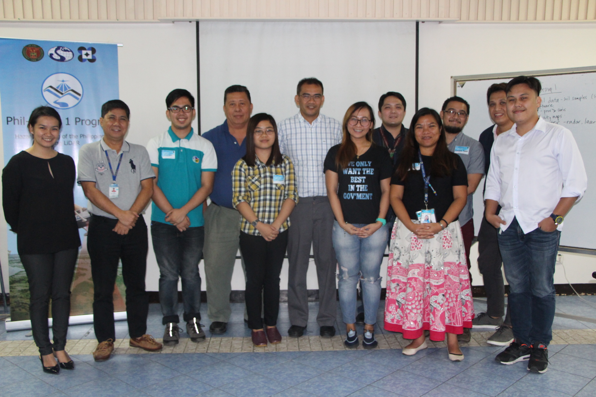
The Phil-LiDAR 1 Program headed by Program Leader Dr. Enrico C. Paringit conducted the Flood Modeling, Mapping, and Assessment Workshop for MGB (Mines and Geosciences Bureau) and PAGASA (Philippine Atmospheric Geophysical and Astronomical Services Administration) last April 26, 2017 at Seminar Room C of the National Engineering Center, UP Diliman. There were a total of 20 participants in the event.
Read the full post
Like Us on Facebook
Facebook