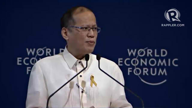
President Aquino highlights LiDAR in World Economic Forum on East Asia 2014
- Posted by Nicolle Timoteo
- on 23 May 2014
- 17 Comments
In his welcome speech for the World Economic Forum on East Asia 2014, President Benigno “Noynoy” Aquino III stated Light Detection and Ranging (LiDAR) technology as one of the main scientific tools in the ongoing mapping efforts of the Philippines. He underscored the benefits of using LiDAR maps particularly in fostering stronger communities amid climate change.
"[W]e are mapping the topography of our floodplains and river basins through the use of LiDAR technology, which, among others, will help us take a more science-based approach towards building resilient communities.” – H.E. Benigno Aquino III
During the World Economic Forum on East Asia held last May 21-23, 2014 in Makati Shangri-La Hotel, President Aquino stressed the need for the Philippines to be better equipped and prepared with the current trend in disasters. He added that it is important to invest on modern equipment and technologies at present, in cognizance of the worsening effects of weather disturbances that plague the country annually.
In the said forum, the President also cited the usefulness of LiDAR data in improving output of the agriculture sector and ensuring the viability of infrastructure development projects, among others.
Like Us on Facebook
Facebook