Memorandum of Agreement for LiDAR data-sharing signed by Partner State Universities and Higher Education Institutions
- Posted by Di-Ann Suarez
- on 15 July 2017
- 0 Comments
Last July 15, 2017, the Chancellors and Representatives from the 15 partner State Universities and Colleges (SUCs) and Higher Education Institutions (HEIs) and Secretary Fortunato dela Pena of the Department of Science and Technology (DOST) signed the Memorandum of Agreement (MOA) for LiDAR data-sharing. The MOA signing ceremony took place in the main stage of the World Trade Center during the last day of the National Science and Technology Week (NSTW) celebration of the Department of Science and Technology. The Philippine Center for Industry, Energy, and Emerging Technology Research and Development (PCIEERD) in coordination with the Phil-LiDAR Program conducted the preparations for the event.
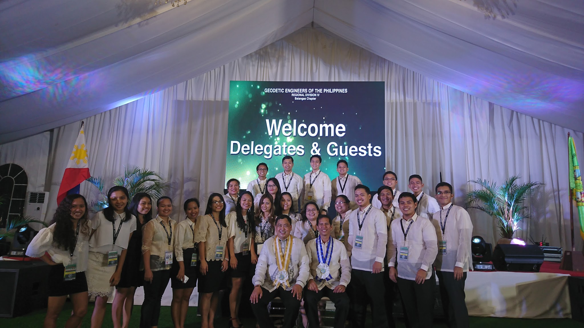
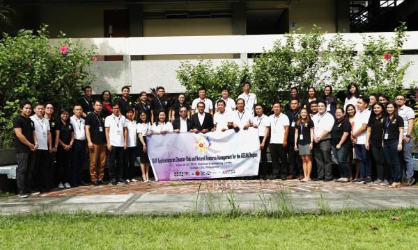
Read the full postPartnering for Change, Engaging the World: The Phil-LiDAR Program Conducts Training on LiDAR Applications for the ASEAN Region
- Posted by Beau Alambra Estepa
- on 3 July 2017
- 0 Comments
Phil-LiDAR 1 and FRExLS Turn Over Flood Hazard and Forest Resource Maps to Western Visayas LGUs
- Posted by Engr. Anjenneth Palmon and Beau Alambra Estepa
- on 21 June 2017
- 0 Comments
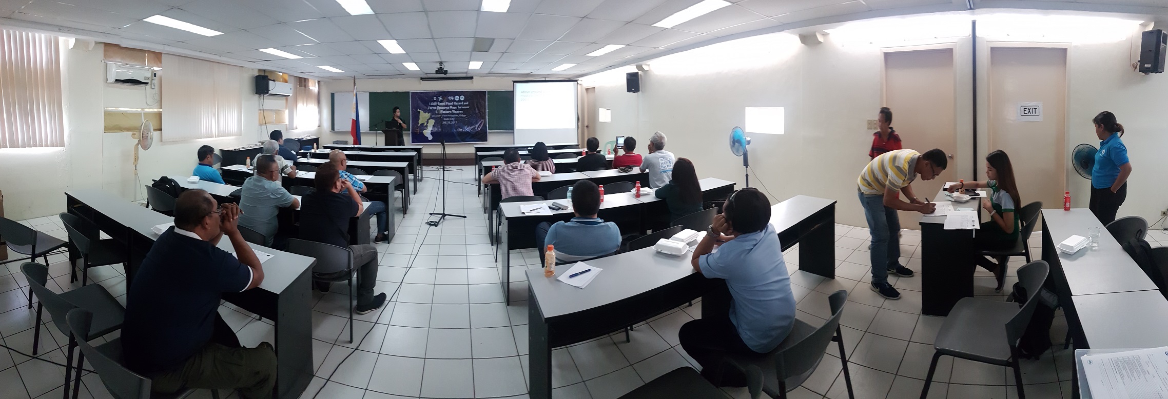

UP Cebu Phil-LiDAR Project Turns Over Flood Hazard and Resource Maps to Western Visayas LGUs
- Posted by Beau Alambra Estepa
- on 19 May 2017
- 0 Comments

The University of the Philippines Cebu Phil-LiDAR Project turned over flood hazard and natural resource maps to Western Visayas LGUs in a two-day event held at the UP Visayas Auditorium, Iloilo City, having more than 100 LGU delegates in attendance.
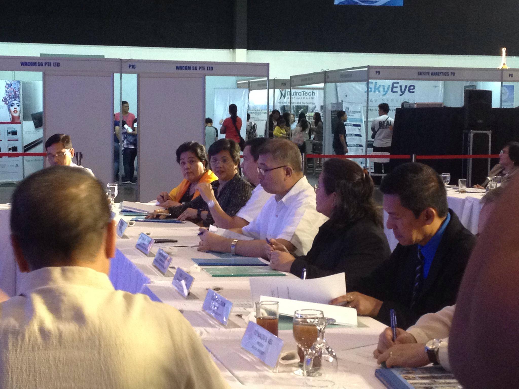
Read the full postPHIL-LiDAR 1 Program Conducts Flood Modeling, Mapping, and Assessment Workshop with DENR-MGB and DOST-PAGASA
- Posted by Beau Bernardo Estepa and Klaribelle Anne Languayan
- on 27 April 2017
- 0 Comments
The Phil-LiDAR 1 Program headed by Program Leader Dr. Enrico C. Paringit conducted the Flood Modeling, Mapping, and Assessment Workshop for MGB (Mines and Geosciences Bureau) and PAGASA (Philippine Atmospheric Geophysical and Astronomical Services Administration) last April 26, 2017 at Seminar Room C of the National Engineering Center, UP Diliman. There were a total of 20 participants in the event.
Read the full postBicol Region Receives Flood Hazard Maps
- Posted by Nur Hussain S. Maba
- on 31 March 2017
- 0 Comments

The 6th Luzon Cluster Conference was successfully conducted on March 30 – 31, 2017 at the Villa Caceres Hotel, Naga City hosted by Ateneo de Naga University. Day 1 was the accomplishment updates per SUC/HEI and UPD’s per component while day 2 was the Turnover Ceremony to 75 LGUs from Bicol Region and 10 from local government agencies such as Department of Environment and Natural Resources, Department of Agriculture, Bureau of Fisheries and Aquatic Resources, Forest Management Bureau, and Bicol Consortium for Agriculture and Resources Research and Development (BCARRD). Philippine Council for Industry, Energy and Emerging Technology Research and Development (PCIEERD) as the project-monitoring agency headed by Ms. Clarinda Reyes was also present. The cluster conference is considered to be the last leg for Luzon as the program officially closes this year with some partner State University Colleges (SUCs) and Higher Education Institutions (HEIs) have closed already.
Read the full postMapua Institue of Technology Phil-LiDAR 1 Turns Over Flood Hazard Maps to CaBaZon and Cam Norte LGUs
- Posted by Beau Alambra Estepa
- on 17 March 2017
- 0 Comments
The Mapua Phil-LiDAR 1 Program recently held its Maps Turnover Ceremony at The Bayleaf Hotel, Intramuros, Manila last March 16, 2017. Flood Hazard Maps and other LiDAR data were
distributed to 35 municipalities in the provinces of Cavite, Batangas, Quezon, and Camarines Norte with the event having 68 LGU representatives.
Phil-LiDAR 1 Program turns over Flood Hazard Maps to Central Luzon LGUs, Pangasinan
- Posted by Di-Ann Suarez and Beau Estepa
- on 27 February 2017
- 0 Comments
Last February 27, 2017, UP Diliman Phil-LiDAR 1 Representatives together with its partner university Central Luzon State University (CLSU) conducted the Flood Hazard Seminar and Maps Turnover in Xenia Hotel in Clark Freeport Zone, Pampanga. Flood hazard maps and other LiDAR data were distributed to 91 municipalities in the provinces of Nueva Ecija, Zambales, Tarlac, Pampanga, Pangasinan, Bulacan, Aurora, and Bataan, with the event having more than 100 LGU delegates who participated and received LiDAR data products.
Read the full postRetrospect. Deliver. Realize: ADZU hosts the Phil-LiDAR 1 Mindanao Cluster Colloquium
- Posted by Beau Alambra Estepa
- on 17 February 2017
- 0 Comments
The Ateneo de Zamboanga University (ADZU) LiDAR Program, headed by Mr. Mario Rodriguez, hosted the Phil-LiDAR 1 Mindanao Cluster Colloquium and Map Turnover Ceremony with the theme "Retrospect. Deliver. Realize" last February 16-17, 2017 in Zamboanga City. Around 300 participants from the academe, local government units, national government agencies, and non-government organizations from all over the country attended the event.
Read the full postPhilippine National LiDAR Conference 2017 takes Cebu City by Storm
- Posted by Di-Ann Suarez
- on 20 January 2017
- 0 Comments
The Philippine National LiDAR Conference 2017 hosted by the University of San Carlos (USC) and University of the Philippines, Cebu (UP Cebu) took place in Waterfront Cebu City Hotel last January 18-20, 2017 with the theme "On the Cutting Edge: Geospatial Technology at the Forefront of Disaster Risk Reduction and Natural Resource Management in the Philippines." This was attended by more than 500 stakeholders coming from all corners of the Philippines. Present were Department of Science and Techology (DOST) Secretary Fortunato Dela Pena, the Cebu City Administrator representing Cebu Provincial Governor Hilario P. Davide, III, Father Dionisio Miranda, President of the University of San Carlos, Dr. Enrico C. Paringit, Program Leader of the Phil-LiDAR 1 Program, Dr. Ariel C. Blanco, Program Leader of the Phil-LiDAR 2 Program, DOST Undersecretary for Research and Development Usec. Rowena Guevara, Congressman Erico Aumentado who is the Chairman of the Science and Technology Committee in the 17th Congress, DOST Region VII Regional Director Edilberto Paradela, Mr. Rene Meily, President of the Philippine Disaster Resilience Foundation (PDRF), Mr. Baltazar Tribunalo, Jr., Cebu PDRRMO representative, Dr. Alfredo Mahar Lagmay, Executive Director of Project NOAH, Atty. Gloria Estenzo-Ramos, VP of Oceana Philippines, Engr. Ayin Tamondong, Project Leader of CoastMAP, and For. Nerissa Gatdula, Chief Science Research Specialist of PARMAP, as well as the partner state universities and higher education institutions of both the Phil-LiDAR 1 and 2 Programs.
Read the full post
Like Us on Facebook
Facebook