DREAM Component Reports Accessible on LiPAD Website
- Posted by Klaribelle Anne Languayan
- on 3 June 2016
- 0 Comments
Completing the mandated coverage of 18 major rivers basins for flood mapping, the Nationwide Disaster Risk and Exposure Assessment for Mitigation (DREAM) Program presents its 65 comprehensive reports detailing the work processes, activities, and outputs of the DREAM LiDAR (light detection and ranging technology) Components: Data acquisition, Processing, Validation, and Flood Modeling and Flood Hazard Mapping.
Read the full postDREAM/PHIL-LiDAR 1 Program Participates in Mindanao Cluster Conference
- Posted by
- on 29 April 2016
- 0 Comments
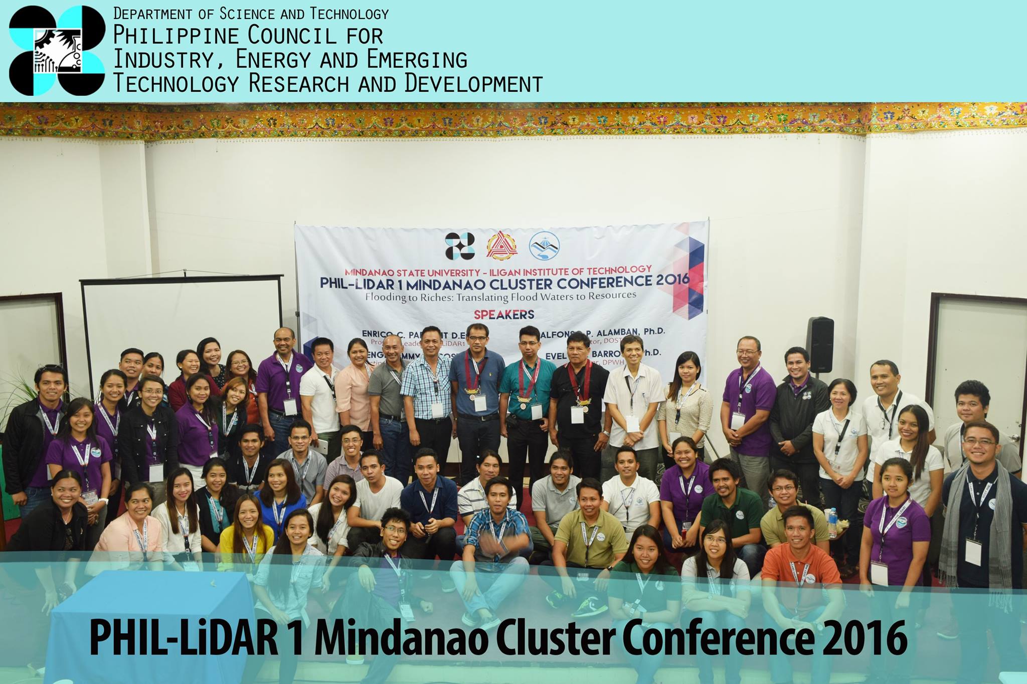
UP DREAM and PHIL-LiDAR 1 reps headed by Program Leader Dr. Enrico Paringit participated in the recently concluded PHIL-LiDAR 1 Mindanao Cluster Conference on April 28-29, 2016 at the Mindanao State Univeristy-Iligan Institute of Technology (MSU-IIT) campus, Iligan City with the theme "Flooding to Riches: Translating Flood Waters to Resources. The conference, organized by MSU-IIT, was attended delegates by from the implementing State Universities and Colleges: Ateneo de Zamboanga University, Central Mindanao University, Caraga State University, and UP Mindanao, and from the Philippine Council for Industry, Energy and Emerging Technology Research and Development (PCIEERD).
Read the full postNational Conference on Assessment and Sustainability Successfully Conducted
- Posted by Di-Ann Suarez
- on 22 April 2016
- 0 Comments
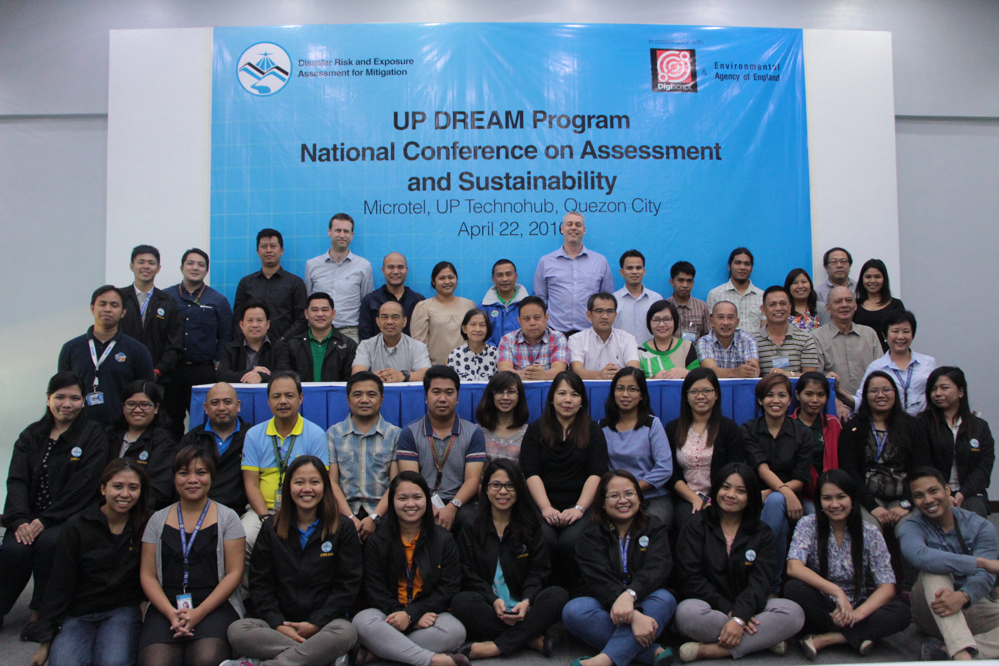
The National Conference on Assessment and Sustainability of the UP Disaster Risk Exposure and Assessment for Mitigation (DREAM) Program, which aimed to provide a platform to discuss the Data Acquisition, Data Validation, Data Pre-Processing, and Flood Modeling Assessment conducted by Alastair Duncan and Patrick Hogarth, as well as serve as an avenue to examine opportunities for Light Detection and Ranging (LiDAR) sustainability, was held last April 22, 2016 in Microtel, UP Technohub, along Commonwealth Avenue in Quezon City.
Read the full postDREAM/PHIL-LiDAR 1 Program Acquires LEICA ALS-80, RCD-30, and ERDAS Training
- Posted by Klaribelle Anne Languayan
- on 17 April 2016
- 0 Comments
As incorporated in the acquisition of the brand new Airborne Laser Scanner-80 (ALS-80) topographic LiDAR scanner and the RCD-30 metric aerial camera system from Leica Geomatics, the Leica ALS-80, RCD-30, and ERDAS Imagine Training was provided to 28 personnel from UP DREAM/PHIL-LiDAR 1 last March 28 – April 11, 2016 at the Asean Aerospace Corporation (AAC) Hangar, Clark City, Pampanga and April 12-16, 2016 at the National Engineering Center (NEC), University of the Philippines Diliman.
Read the full postDREAM Program Launches LiPAD: LiDAR Portal for Archiving and Distribution
- Posted by Marianne Martinito
- on 30 March 2016
- 0 Comments
UP Disaster Risk and Exposure Assessment for Mitigation (DREAM) Program launched its LiDAR Portal for Archiving and Distribution (LiPAD) last March 30, 2016, Wednesday at the Audio Visual Room (AVR), National Engineering Center in UP Diliman.
Read the full postDREAM Program Conducts LiDAR GIS Training to DOST Regional Offices
- Posted by Klaribelle Anne Languayan
- on 19 March 2016
- 0 Comments
The Geographic Information Systems (GIS) – LiDAR Applications Training targeted to the disaster risk reduction and management area of DOST Regional Offices and some local government units, was held last March 14-18, 2016 in the Computational Science Research Center (CSRC) Computer Laboratory, located in the College of Science Complex, University of the Philippines, Diliman, Quezon City.
Read the full postDREAM Program joins 2016 DOST Region XII Science Nation Tour and Exhibits
- Posted by Klaribelle Anne Languayan
- on 19 February 2016
- 0 Comments
The UP Disaster Risk Exposure and Assessment for Mitigation (DREAM) Program participated the 2016 Department of Science and Technology (DOST) Region XII Science Nation Tour and Exhibits – South Central Mindanao held on February 15 to 19, 2016 at the KCC Convention Center, General Santos City.
Read the full postDREAM Head bags 2015 MWF Engineering Excellence Prize
- Posted by Klaribelle Anne Languayan
- on 27 November 2015
- 0 Comments

Enrico C. Paringit, Dr.Eng., the Program Leader of the Disaster Risk and Exposure Assessment for Mitigation (DREAM) Program was awarded with Manila Water Foundation (MWF) Prize for Engineering Excellence last 25 November 2015.
Read the full postUP DREAM Program Shares LiDAR Data Distribution System in FOSS4G 2015
- Posted by Klaribelle Anne Languayan
- on 20 September 2015
- 0 Comments
The UP Disaster Risk Exposure and Assessment for Mitigation (DREAM)/PHIL-LiDAR 1 participated in the Free and Open Source Software for Geospatial Conference (FOSS4G) last September 14 – 19, 2015 in Seoul, South Korea. Representative Ken Abryl Eleazar Salanio of the Data Archiving and Distribution Component (DAD) talked about the development of the archiving system for the program's LiDAR data and LiDAR-derived datasets in his presentation entitled “Data Archiving and Distribution System for the Philippines' LiDAR Program Using Object Storage Systems” to delegates from around 48 attending countries.
Read the full post2015 PHIL-LiDAR 1 Cluster Conferences Conclude Successfully in Iloilo
- Posted by Klaribelle Anne Languayan
- on 15 September 2015
- 0 Comments
The PHIL-LiDAR 1 has successfully ended this year's series of Cluster Conferences for Luzon, Visayas, and Mindanao. Partner State Universities and Colleges (SUCs) and Higher Educational Institutions (HEIs) contributed in making the colloquium significant.
Read the full post
Like Us on Facebook
Facebook